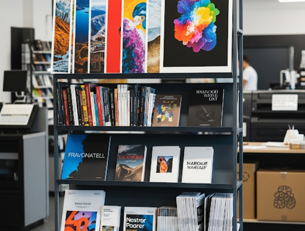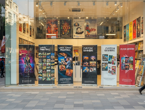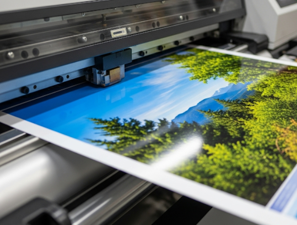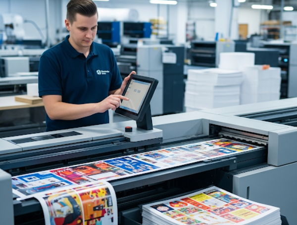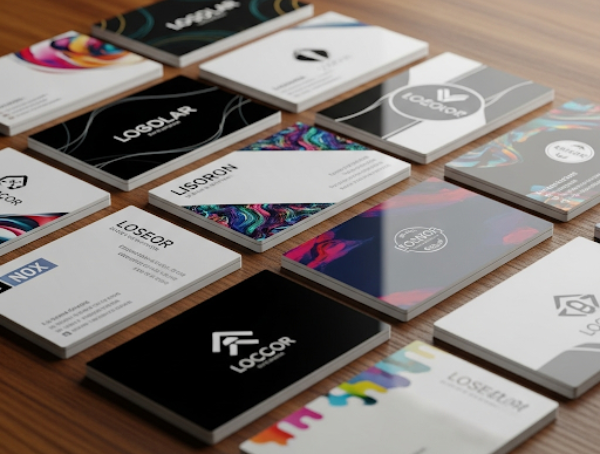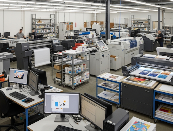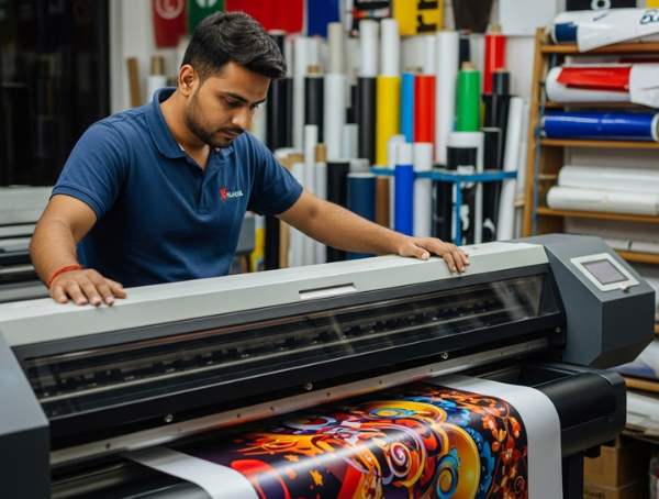
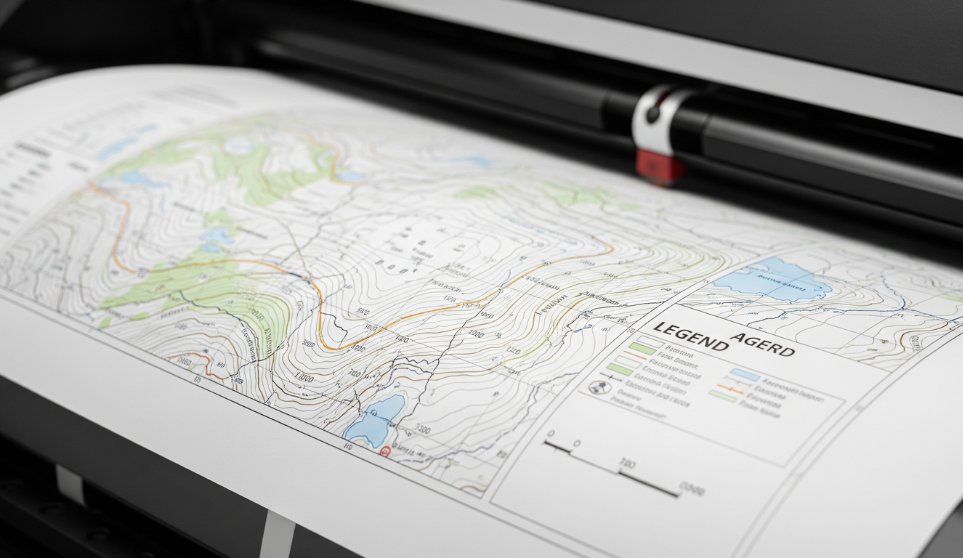
We specialize in high-quality digital printing services, offering customized solutions to meet your business or personal needs. From design to delivery, we ensure precision, durability, and satisfaction in every print.
What Our Clients Say Us

Reliable, high-quality printing with amazing results. The team’s expertise and dedication ensured our event materials looked perfect. Truly satisfied!
Ankit Verma
Event Coordinator
Professional team, excellent prints, and exceptional customer support. Every project was handled efficiently and delivered flawlessly. Will use again!
Priya Sharma
CEO
Outstanding printing quality and service! Their attention to detail and timely delivery truly exceeded our expectations. Highly recommended!
Rahul Mehta
Marketing Manager
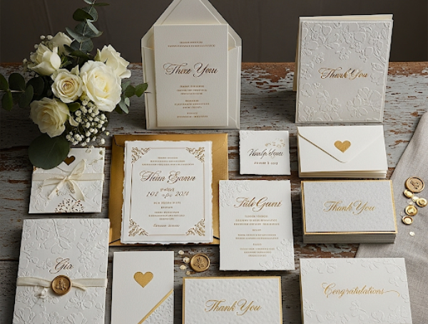
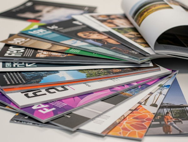
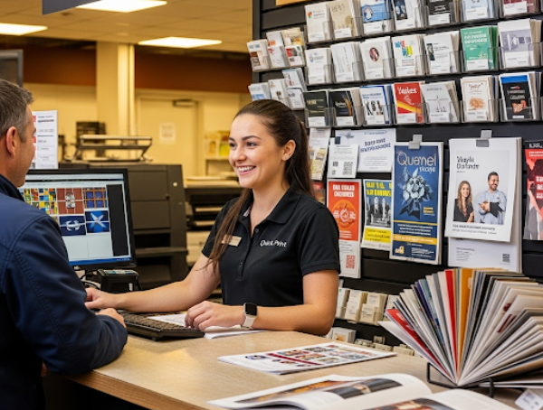
The team at Sree Digitals is exceptional! They delivered high-quality brochures and posters for our product launch, making the entire process seamless and stress-free.
Molly Barlow
Officia incidunt ve